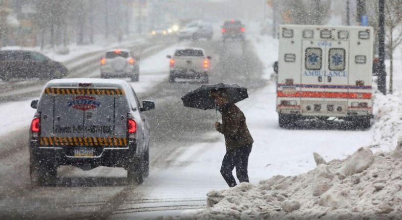
A major winter storm is set to sweep across the United States this weekend into early next week, bringing snow, ice, and dangerously cold temperatures to millions.
The storm will begin on Saturday in the central Plains, with a mix of rain, snow, and ice. Kansas City, Missouri, is expected to face hazardous road conditions by Saturday evening as a wintry mix moves in. The storm will then track along Interstate 70, bringing heavy snow and ice to St. Louis from Saturday night into Sunday.
By Sunday, the storm will spread across the Ohio Valley and mid-Atlantic regions, creating dangerous travel conditions as snow and ice continue to move eastward. Cities like Baltimore and Philadelphia could see periods of heavy snowfall on Monday, with the potential for six inches or more. Washington, D.C., is also likely to experience snow by Sunday night, making for a treacherous Monday morning commute.
Meanwhile, the southern United States will face severe weather as the storm triggers thunderstorms, strong winds, and the potential for scattered tornadoes. Areas from Houston, Texas, to Memphis, Tennessee, are at risk of damaging storms on Sunday afternoon.
After the storm exits the East Coast, an Arctic blast of bitterly cold air will settle over much of the country. A portion of the polar vortex is expected to bring temperatures 10 to 25 degrees below normal to the eastern half of the U.S. by midweek.
The wind chill, or what the temperature feels like, could dip below zero from the Midwest to the Northeast. Even southern states, such as Florida, are forecast to experience sub-freezing temperatures.
Travelers in affected areas should stay alert to changing weather conditions, plan ahead, and take precautions to stay safe during this powerful winter storm.


