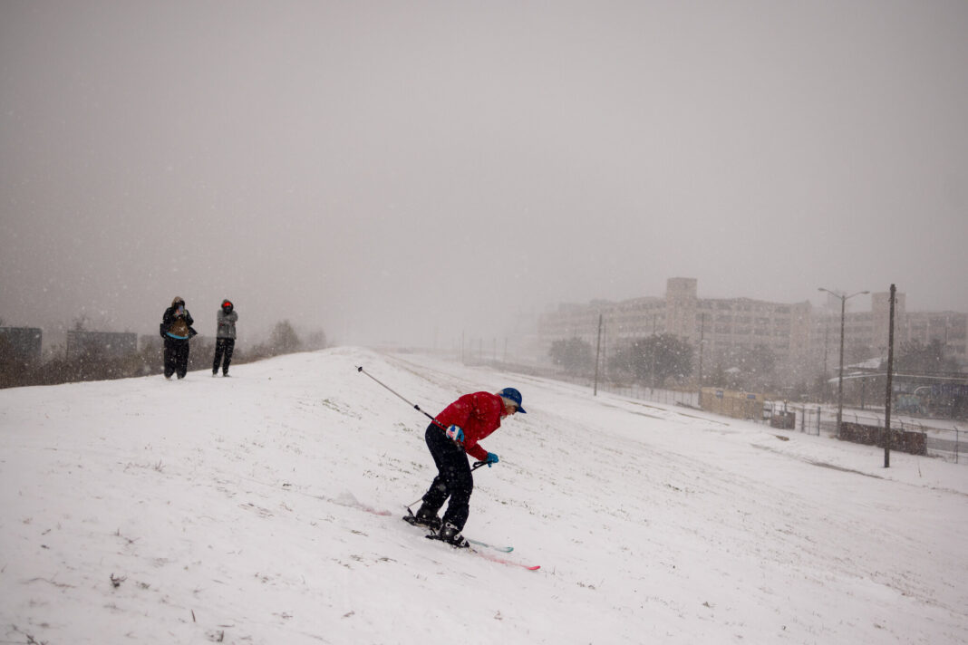
The temperature outlook for February 2025 is shaping up to be quite different from the cold snap that dominated January. According to the latest forecast from The Weather Company and Atmospheric G2, much of the East and South will experience above-average temperatures, especially from the mid-Atlantic and Southeast to coastal and southern Texas. However, a shift in weather patterns later in the month could bring a surprise chill.
To start the month, colder air is expected to dominate the Northwest, Northern Rockies, and Northern Plains, with occasional dips into the Great Lakes and Northeast. These areas will experience more winter-like conditions in early February, as cold air from western Canada sweeps across the northern tier of the U.S.
But here’s the catch: by mid-month, there is a potential pattern change that could significantly alter the temperature forecast. Meteorologists predict that a Greenland block—a high-pressure dome—could develop, causing the jet stream to dip southward over the eastern U.S. This would bring colder air and more persistent winter conditions to the East and South, turning the warmth of early February into a distant memory.
At the same time, a positive phase of the Pacific-North American pattern could push another high-pressure system near the West Coast, potentially creating a “warm West, cold East and South” scenario. If this pattern holds, late February could surprise many with unseasonably cold temperatures, especially in areas that have been enjoying the warmth earlier in the month.
So, while February may start with a mild, thaw-like feel in many regions, it’s worth keeping an eye on the mid-month shift that could bring a sudden cold snap. Enjoy the early warmth while it lasts!


