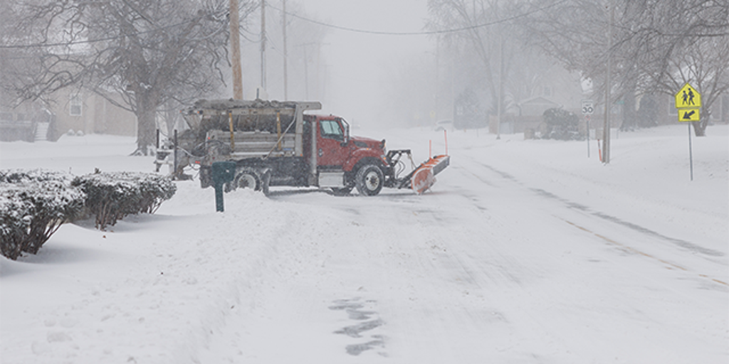
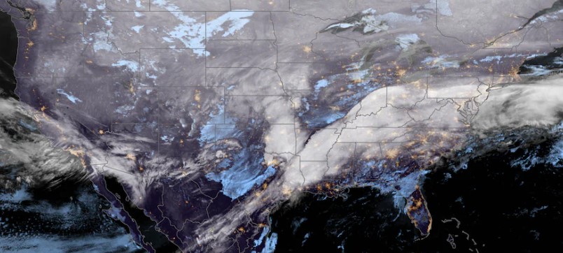
A significant winter storm is poised to impact the Midwest, with cities like Chicago and Detroit expected to experience the most substantial snowfall of the season. The system is forecasted to bring heavy snow, ice, and even thundersnow to the central United States, leading to major travel disruptions and prompting closures of state offices and schools.
Storm Path and Snowfall Projections
The storm is advancing from the Plains into the Midwest, with heavy snow anticipated from Kansas City, Missouri, through Chicago, Illinois, and into Detroit, Michigan. Snowfall rates could reach approximately one inch per hour, with total accumulations of at least four inches in affected areas. Chicago and Detroit, which have experienced below-average snowfall this winter, are expected to see their largest snow accumulations yet.
Impact on Michigan
In Michigan, the storm is expected to bring 4-8 inches of snow across the lower peninsula, with the heaviest snowfall of 7-12 inches anticipated south of a Mount Pleasant to Grand Rapids line. Peak snow rates could reach one inch per hour, particularly south and east of a Muskegon to Big Rapids line. The Thumb Region is projected to receive 4-7 inches, with some areas potentially seeing up to six inches within nine hours on Wednesday evening. Bad Axe holds a 75% chance of experiencing six inches or more, marking the highest probability of heavy snowfall in the state.
Travel and Safety Advisories
The National Weather Service has issued winter weather advisories effective until 7 a.m. on Thursday, February 13. Travel conditions are expected to be hazardous, with rapidly deteriorating road conditions leading to slow and slippery travel. Motorists are advised to exercise caution and consider delaying travel if possible. Additionally, ice warnings are in effect for parts of Oklahoma, Missouri, and Ohio, where ice accumulations could lead to treacherous conditions.
Thundersnow and Ice Concerns
The storm has already produced thundersnow in Oklahoma City and Norman, Oklahoma, indicating the storm’s intensity. Forecasters are also concerned about ice accumulations, particularly in Oklahoma, Missouri, and parts of Ohio, which could exacerbate travel hazards and potentially lead to power outages.
Upcoming Weather Conditions
As the storm progresses into the Northeast and New England on Thursday, it is expected to bring a mix of snow, sleet, freezing rain, and rain. Northern Maine could receive up to a foot of snow, while areas to the south may experience ice accumulations leading to hazardous travel conditions. Major cities along the Interstate 95 corridor, including New York City and Philadelphia, may see initial snowfall before a transition to rain.
Residents in the affected regions are urged to stay updated with local weather forecasts and heed any advisories or warnings issued by authorities. Taking necessary precautions will be essential to ensure safety during this significant winter storm.


